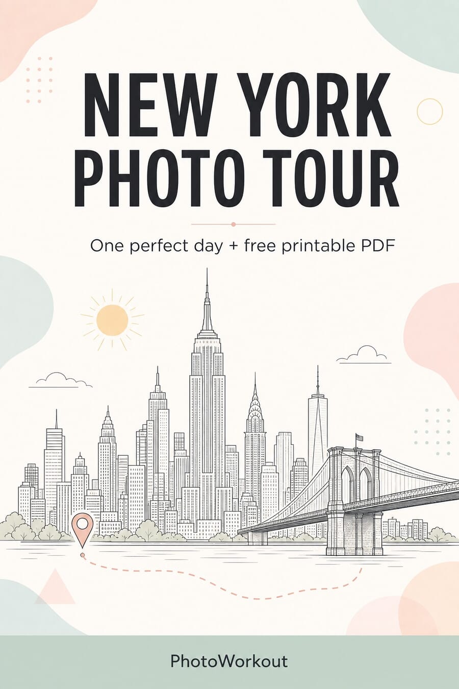
- A complete one-day New York photo route built around light, not landmarks: sunrise in DUMBO, the Brooklyn Bridge at golden hour, the Oculus and Grand Central by mid-morning, SoHo in the afternoon, and the skyline from Long Island City at sunset and blue hour.
- Every stop has a best arrival and leaving time, travel notes, what to shoot, and the lens to use – timed against real NYC sunrise (~5:25 AM) and sunset (~8:31 PM).
- Grab the free printable PDF below: it has a Google Maps QR code for every stop (and the full route), so you navigate by scanning instead of typing while you chase the light.
- Rainy day or late start? Both have a built-in plan. We generated this route with our own ChatGPT photo-tour workflow, then verified every stop by hand.
Most “things to photograph in New York” lists are just sightseeing checklists. This is different: a single, practical one-day New York photo tour sequenced around the light – so you’re at the right place at the right time, from a DUMBO sunrise to a blue-hour skyline. And because nobody wants to type addresses into Maps while balancing a camera bag, the whole route comes as a free printable PDF with a QR code for every stop.
Times below are for a summer date (sunrise ≈ 5:25 AM, sunset ≈ 8:31 PM); adjust for your own date. Here’s the day, block by block.
The Route, Block by Block
The logic is simple – lead with the best light and let everything else fall in behind it: viewpoints at sunrise, street as the city wakes, architecture and interiors in flat mid-morning light, a rest through harsh midday, neighborhoods in the afternoon, and the skyline at sunset and blue hour.
Sunrise: DUMBO & the Brooklyn Bridge (4:50–8:00 AM)
The day starts across the river in Brooklyn, chasing the first light before the city is awake. Two stops, a five-minute walk apart, give you the most iconic frames of the whole route with almost nobody in them.
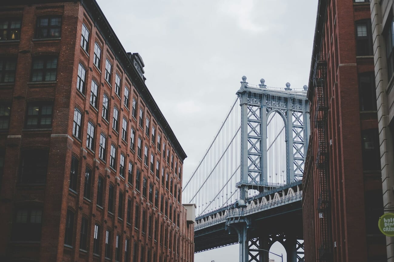
DUMBO, Brooklyn
Start before dawn at the corner of Washington and Water Streets, where the cobblestones lead the eye straight up to the Manhattan Bridge framed between two brick warehouses – the most photographed view in DUMBO, and blissfully empty at 5 a.m. Work it wide for the full frame, then switch to a 70-200mm to compress the bridge tower against the buildings. A block away, Brooklyn Bridge Park puts the Manhattan skyline across the water catching the first warm light, with the Jane’s Carousel pier and Pebble Beach for foreground and reflections. Get here early – by 7 a.m. the tour groups arrive and the Washington Street shot becomes a queue.
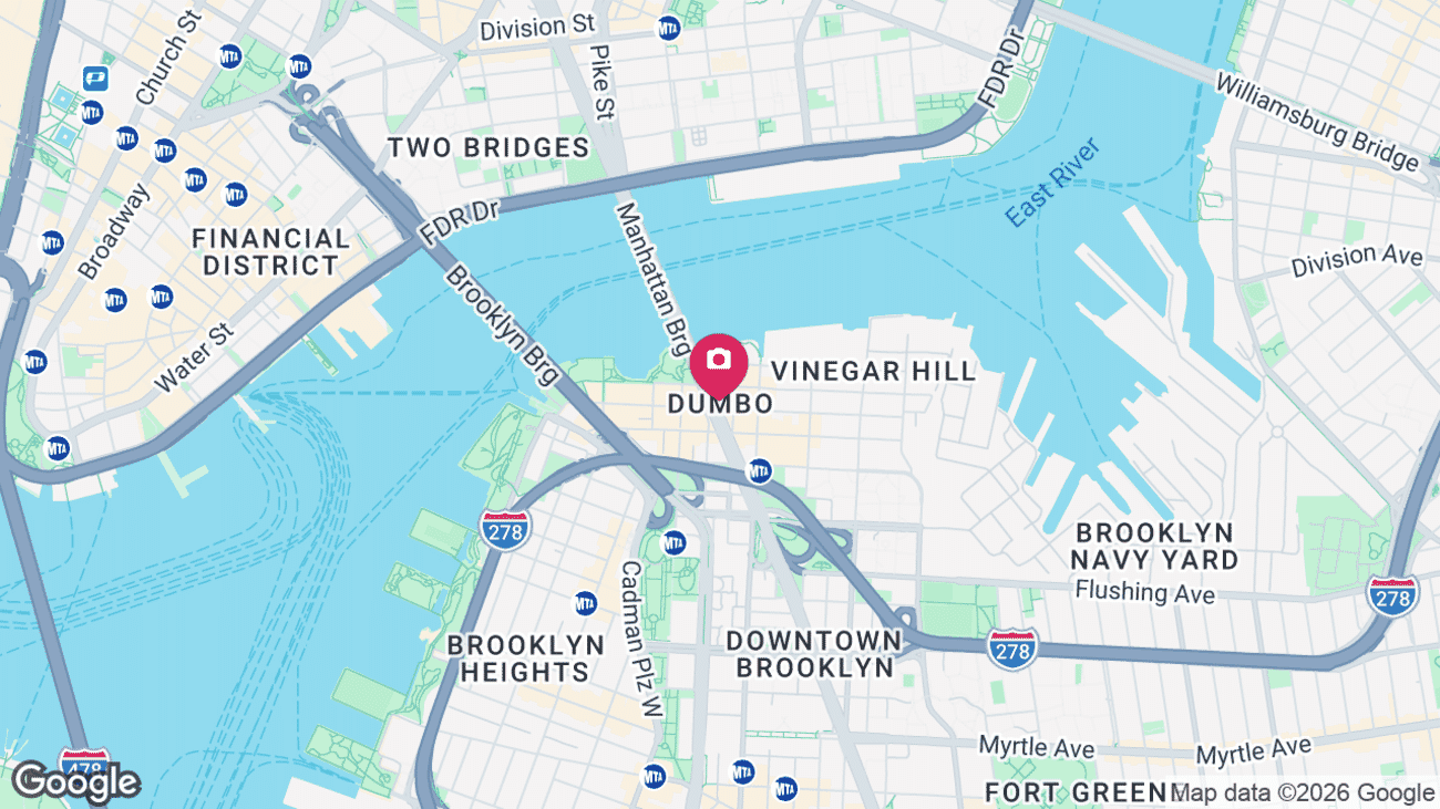
The Brooklyn Bridge
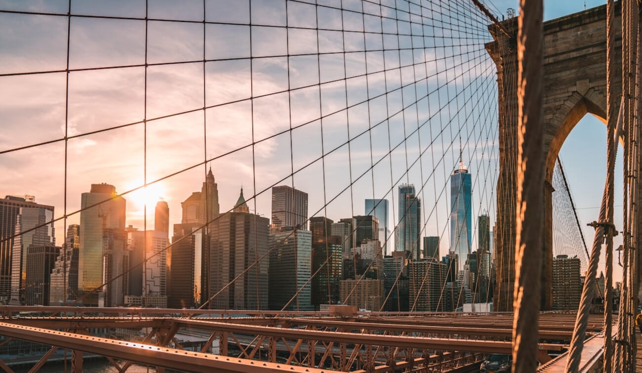
From DUMBO, walk up onto the Brooklyn Bridge and head toward Manhattan as the sun climbs. The gothic stone arches, the radiating cables, and the skyline beyond are all at their best in this soft early light, before the promenade fills with cyclists. Use the cables as leading lines with a wide lens, then turn back for the stone towers framing the skyline behind you. Keep to the pedestrian side of the painted line – the bike lane is fast and unforgiving.
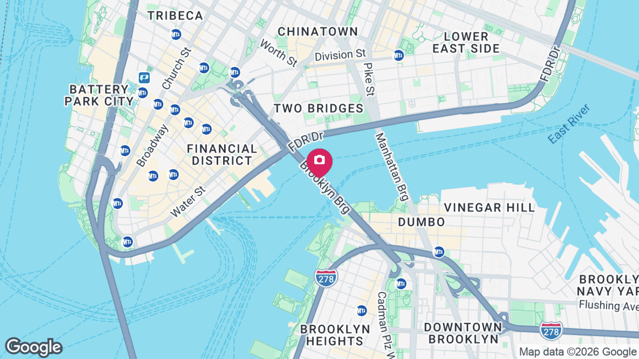
Morning: Architecture in Lower Manhattan & Midtown (8:00–11:00 AM)
As the sun gets higher and the light goes flat, trade the open river views for architecture and interiors – where even light is an advantage, and a roof over your head is a bonus if the weather turns.
The Oculus & Financial District
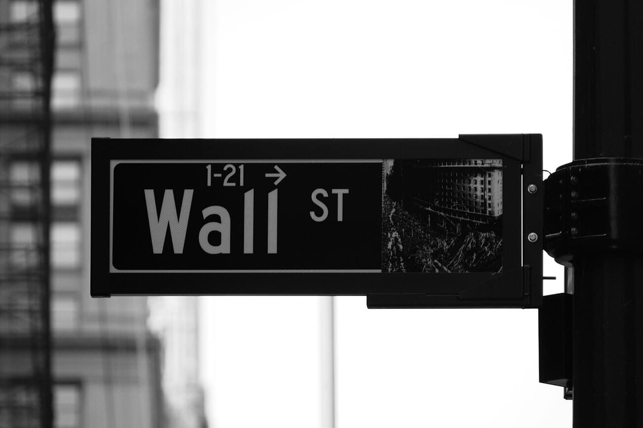
Drop down off the bridge into the Financial District. The Oculus – Santiago Calatrava’s vaulted white ribs – is a wide-angle playground and, being fully enclosed, your best stop if it starts to rain. From there it’s a short walk to the narrow canyons of Wall Street and the cobblestoned Stone Street, where flat mid-morning light is kind to tight architectural detail. Catch the Charging Bull early, before the line wraps around it. A 16-35mm earns its keep down here for the verticals and the Oculus interior.
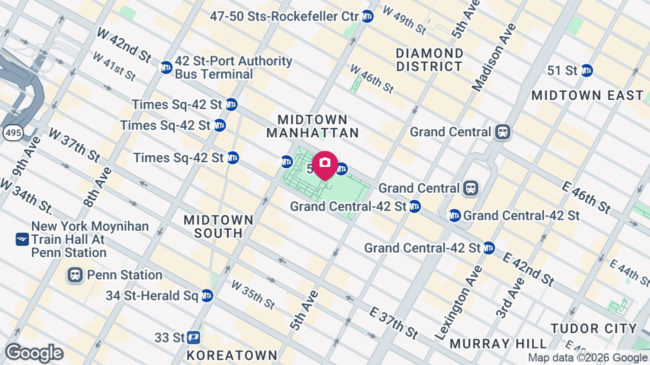
Grand Central Terminal
Take the 4/5 uptown to Grand Central Terminal. Late-morning sun rakes through the tall east windows and lands across the main concourse in dramatic beams – the shot every photographer comes for. Brace against a balcony railing for a clean overview and let the commuters blur into motion with a slower shutter; tripods are discouraged when it’s busy, so shoot handheld and lean on something solid. Look up, too – the turquoise celestial ceiling and its gold constellations reward a careful frame.

Midday: Reset at Bryant Park (11:30 AM–1:30 PM)
Midday light is harsh and contrasty – the worst of the day for most subjects. Don’t fight it. Use the block to eat, recharge batteries, back up your morning files, and scout the afternoon from a bench in Bryant Park, a green reset ringed by Midtown towers. A good photo day is as much about pacing as it is about locations.
Afternoon: SoHo & the West Village (1:30–4:30 PM)
With the harsh light past, the afternoon is for neighborhoods and street work – two of Manhattan’s most photogenic, back to back and a short walk apart.
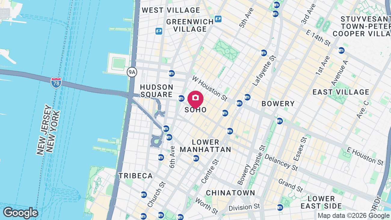
SoHo
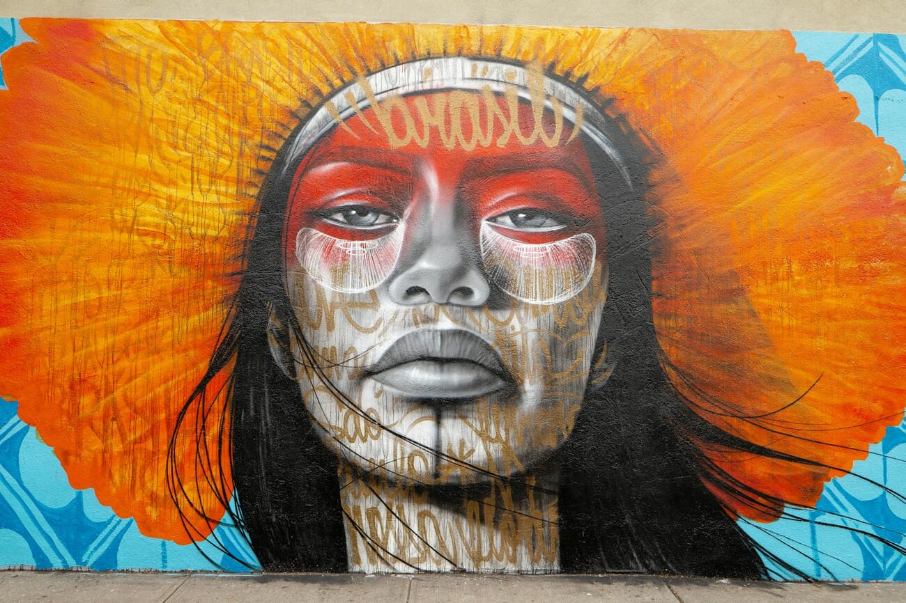
As the light softens, SoHo is all texture: cast-iron facades, ornate fire escapes, and the wide cobblestones of Greene and Mercer Streets. Shoot straight up the building fronts to flatten the repeating columns and cornices into graphic patterns, or wait on a corner for someone to cross the cobbles and anchor the frame. Broadway and Prince Street are busy enough for candid street work; step one block off and the side streets go quiet and architectural. A 24-70mm covers the facades, while a 35mm or 50mm is better for the street life.Don’t just look up at the buildings, either – SoHo’s walls and shutters are covered in ever-changing street art and murals worth a frame of their own.
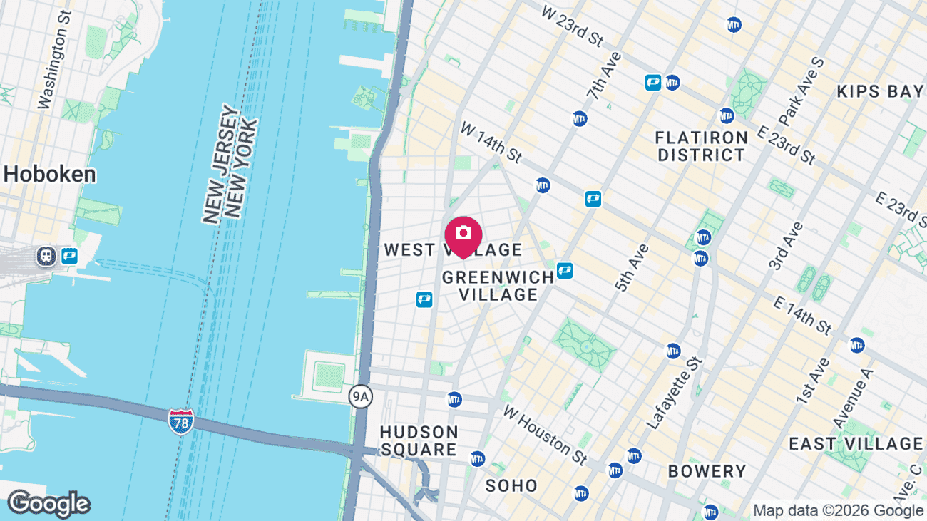
The West Village
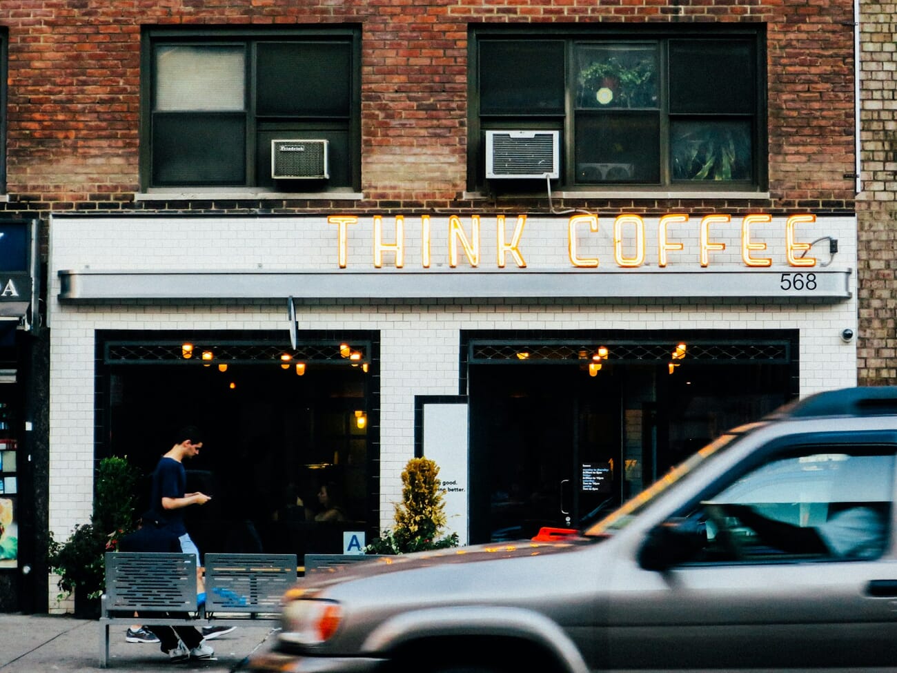
A short walk west, the grid breaks apart and the West Village turns low-rise, leafy, and slower – the city’s most walkable neighborhood for unhurried street photography. Tree-lined blocks of brownstones, ground-floor cafés and bookshops, and corner spots like the Think Coffee storefront or the cafés along Bleecker and Perry Streets all reward a patient eye. Late-afternoon light filters through the trees and bounces off pastel townhouse fronts; shoot the café windows wide open for warm bokeh, and let a passing car or cyclist blur to add motion to a quiet street. A fast 35mm is the lens to live on here.
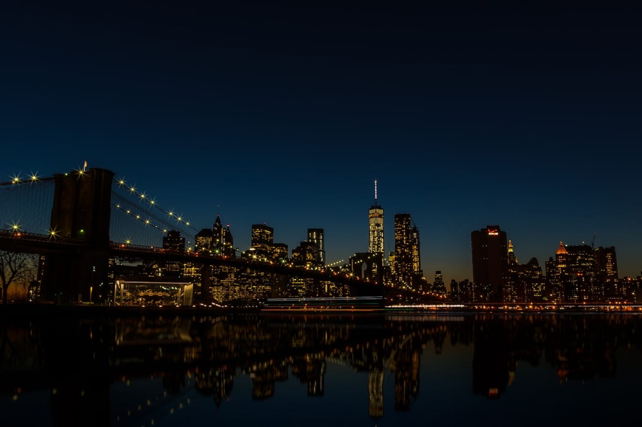
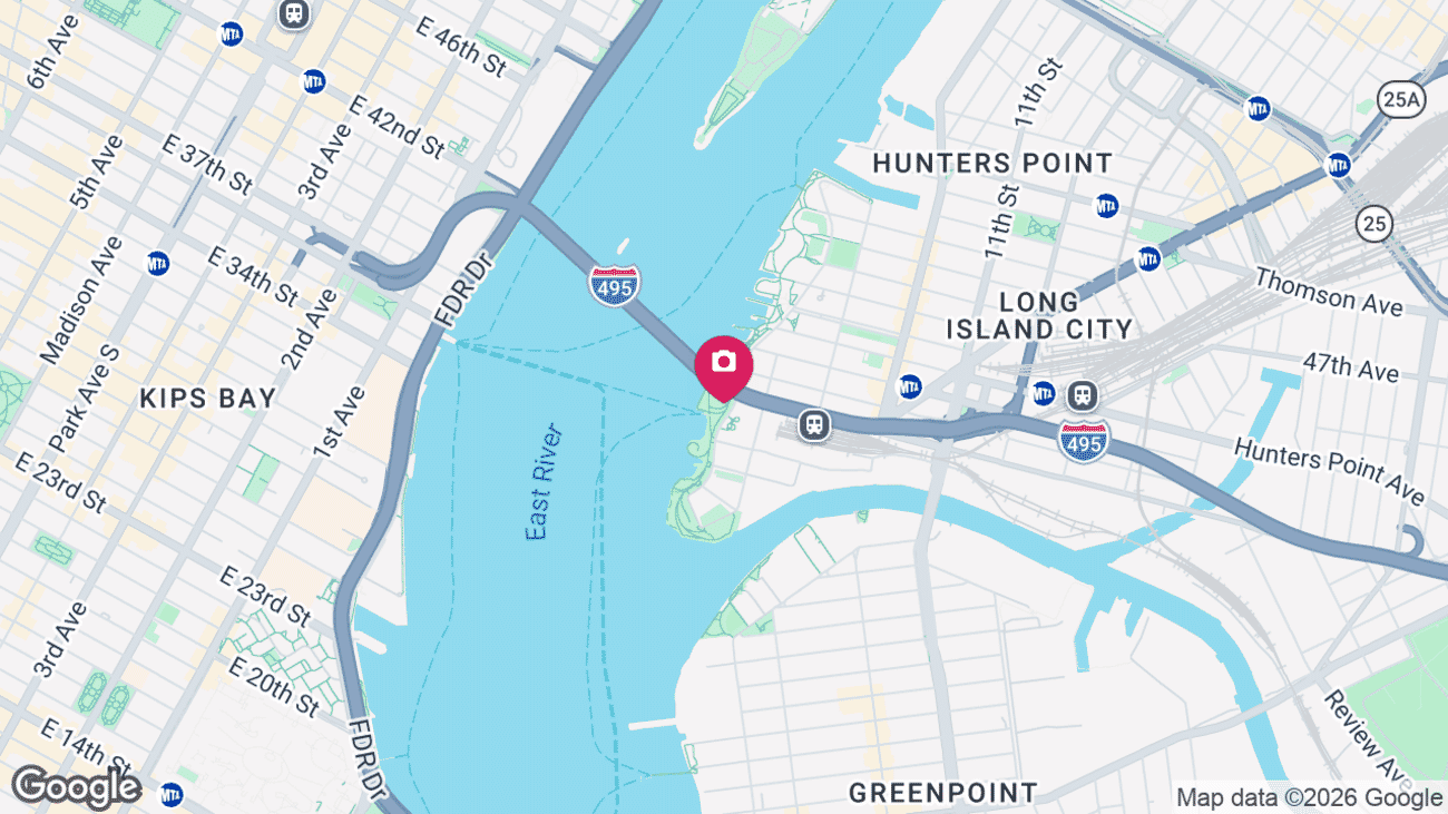
Sunset & Blue Hour: The Skyline from Long Island City (6:30–9:30 PM)
End the day at Gantry Plaza State Park in Long Island City, Queens. Across the East River you get the full Midtown skyline – the sun setting behind it through golden hour, then the windows lighting up at blue hour for long exposures and mirror-smooth reflections. Set up your tripod early to lock in a composition, and stay past sunset: the blue-hour window is often the best 30 minutes of the entire day.
Rainy Day or Late Start? There’s a Plan for That
If it rains, keep the covered and indoor wins – DUMBO under the bridge, the Brooklyn Bridge arches, the Oculus, Grand Central, and SoHo storefronts all work wet (and rain on the skyline at blue hour can be spectacular if you protect your gear). If you start late, skip the DUMBO sunrise and the bridge walk, open at Grand Central, and protect the highest-value blocks: SoHo in the afternoon and the Gantry Plaza sunset. Both versions are spelled out in the PDF.
How We Built This Route
We practice what we preach. This itinerary started as the output of our own ChatGPT photo-tour workflow – the same copy-paste prompts you can use for any city – and then we verified every stop by hand. (The AI’s first draft tried to send us to a paid observation deck for sunrise, which doesn’t open until 9 AM; a human catch like that is exactly why the workflow is “AI plus a photographer’s eye,” not AI alone.) Want to build your own for a different city? The guide walks you through it.
Frequently Asked Questions
Is the PDF really free?
Yes – it’s a free direct download, no signup required. It includes the full route, per-stop timings, a Google Maps QR code for every stop, the rain and late-start plans, and a gear checklist.
Can I use this route on any date?
The stops work year-round, but the exact arrival times are tied to summer sunrise and sunset. For another date, shift the schedule to that day’s actual sun times – or regenerate the whole plan for your date using our ChatGPT photo-tour workflow.
Do I need all that gear?
No. A single body and a 24-70mm covers most of the day. A wide lens helps inside the Oculus and on the bridge, a 70-200mm compresses the skyline, and a small tripod earns its keep at sunrise and blue hour.
Is the route doable without a car?
Entirely. It’s built around the subway and walking, with travel buffers between stops. An OMNY tap or MetroCard is all you need.
The Bottom Line
A great day of shooting in New York isn’t about seeing the most places – it’s about being in the right place when the light is right. This route does that for you, from a quiet DUMBO sunrise to a blue-hour skyline across the river. Download the PDF, scan your way through the day, and adapt it as the weather and your legs allow. Then try the workflow on your own city.
Featured image: Luca Bravo via SampleShots. In-body photos credited individually.
Location photos and tools used to build this route.
Tools
- OpenAI ChatGPT – itinerary planning – Used to draft the route, then verified by hand
- Google Maps – navigation & QR links – Per-stop QR codes in the PDF
Image Sources
- SampleShots – New York photo references – Featured + in-body images, credited per photo